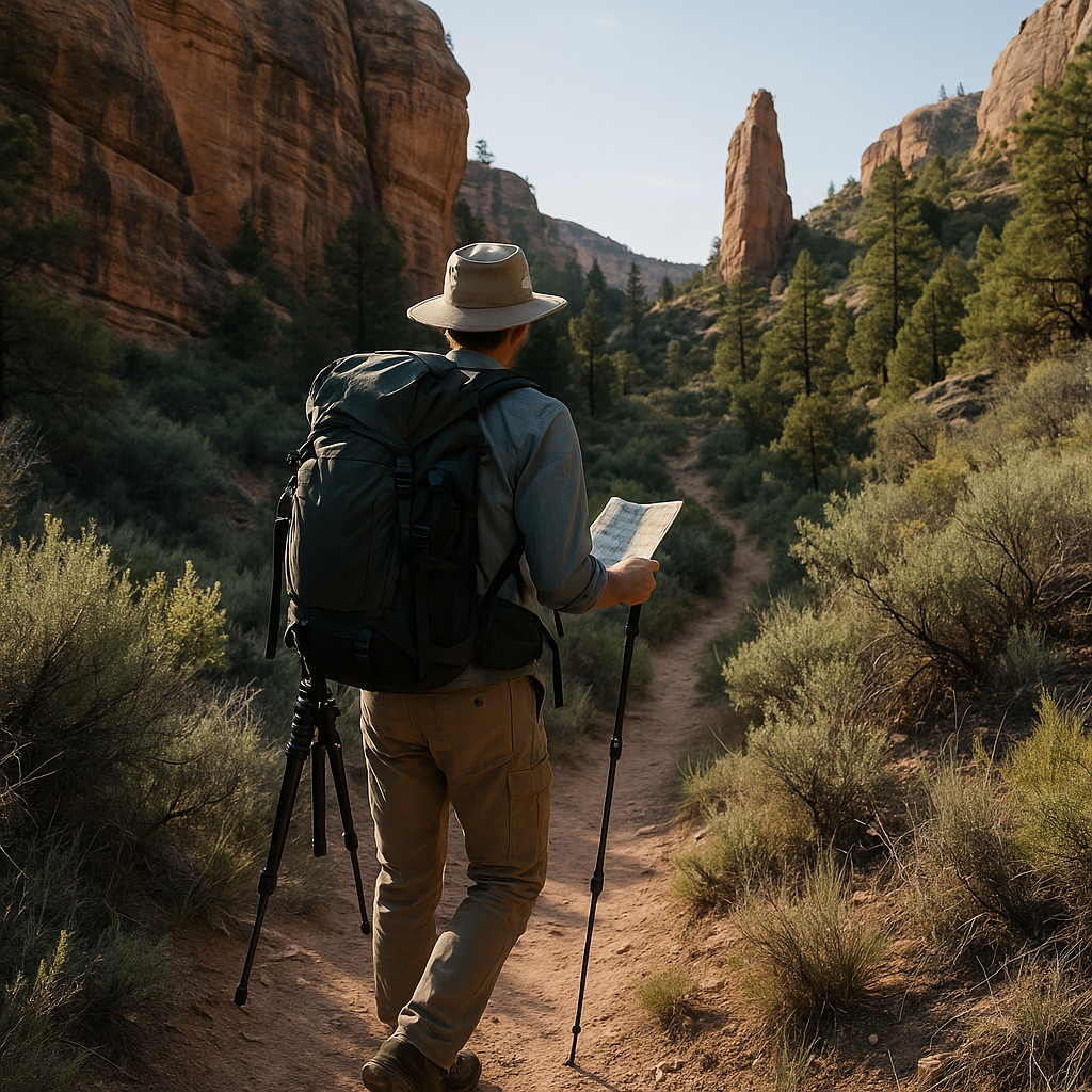
To find quieter national park trails, compare official route details, current alerts and your group’s abilities before choosing a hike. A trail’s appearance on a map does not prove it is open, safe or uncrowded. This guide provides a route-selection worksheet and shows why a seemingly appealing route may be unsuitable.
National park trails: check three different sources
| Source | Useful for | Does not prove |
|---|---|---|
| Official trail description or park map | Route, distance, elevation and trailhead | Current access or crowd levels |
| Current park alerts and trail reports | Closures, restrictions and reported conditions | Your ability to complete the hike |
| Weather forecast and ranger advice | Conditions relevant to the day and your plan | A guarantee of safety or solitude |
Start from the Glacier National Park hiking information when planning in Glacier, then follow the park’s current alerts. Historical maintenance documents explain past or proposed work; they are not live trail-status reports.
Build a shortlist before choosing a route
- Write down your maximum round-trip distance, elevation gain, available daylight and transport constraints.
- Read the official route description carefully. Establish whether a distance is one-way or round-trip.
- Check alerts for the named trail and its access road. If status is unclear, ask the park instead of assuming access.
- Check weather and any permit, wildlife or seasonal restrictions.
- Choose a second route that fits the same limits in case the first is inaccessible.
Illustrative example: reject an unsuitable hike
Assume a visitor wants a hike of at most six miles round-trip and has not planned for a major climb. Huckleberry Lookout initially looks interesting. However, the NPS lists it as six miles one-way with 2,725 feet of elevation gain on its full-day hiking page. Returning by the same route would be about twelve miles, so it does not fit this visitor’s six-mile limit.
The useful decision is to remove it from the shortlist, not describe it as an easy or moderate alternative. We have not measured visitor numbers on this route and do not promise that it will be quiet.
A reusable route worksheet
| Record before departure | Your entry |
|---|---|
| Named route and official source URL | ________________ |
| One-way / round-trip distance and elevation gain | ________________ |
| Latest alert checked, date and access road | ________________ |
| Weather, daylight and turnaround time | ________________ |
| Permit or seasonal restriction | ________________ |
| Alternative route and reason to turn back | ________________ |
A map or GIS layer can help you understand where paths run. Do not use it as a substitute for current alerts, signs or ranger instructions. Keep to permitted routes and follow local wildlife and waste rules.
Next step
Choose two candidate trails in one park and complete the worksheet for both. If a field is unknown, resolve it before departure rather than treating missing information as approval.
Correction — October 8, 2026: Removed unsupported claims about Huckleberry’s difficulty and crowd levels, distinguished historical planning information from current trail status, and added a distance-based decision example.